Rangers Gain Digital Mapping Skills to Strengthen Conservation Efforts
Press Release
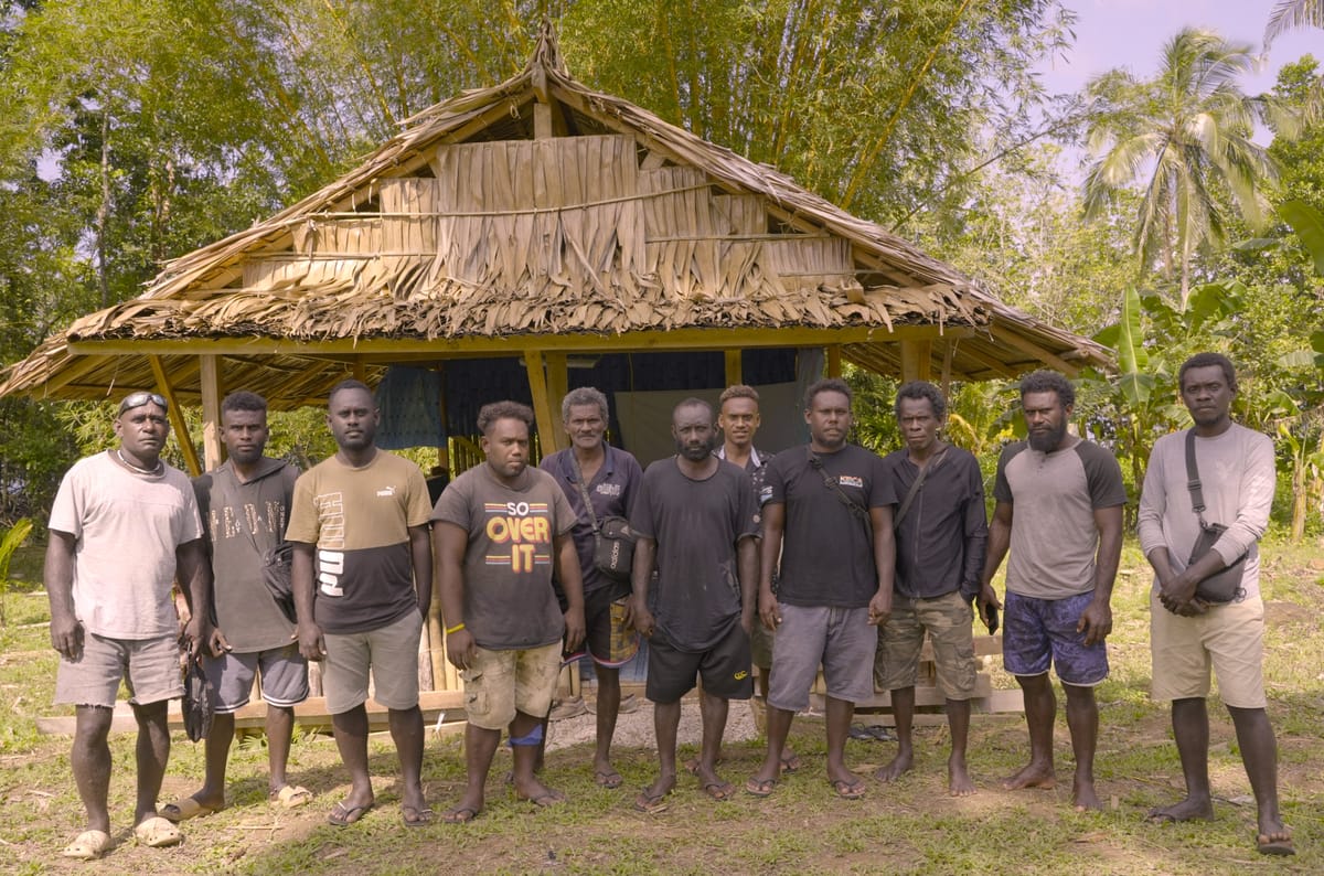
Ten local rangers from the tribal groups of Igoana, Epanga and Kiuwai have completed a three-day training designed to strengthen their skills in digital mapping, data collection and conservation monitoring using the CoMapeo app. This tribal groups are affiliated with Kolombangara Island Biodiversity Conservation Association (KIBCA)
The CoMapeo Training of Trainers (TOT) was organized by the Islands Knowledge Institute (IKI) in collaboration with KIBCA and was held at Lineana, Kolombangara Island, from 15th -17th September 2026.
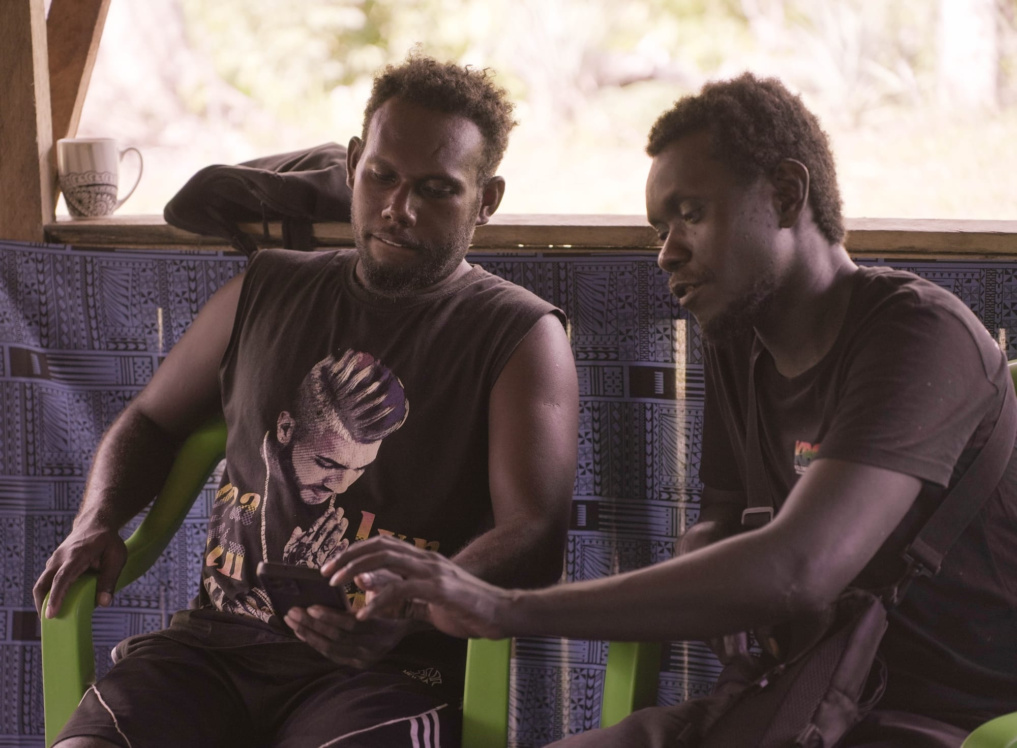
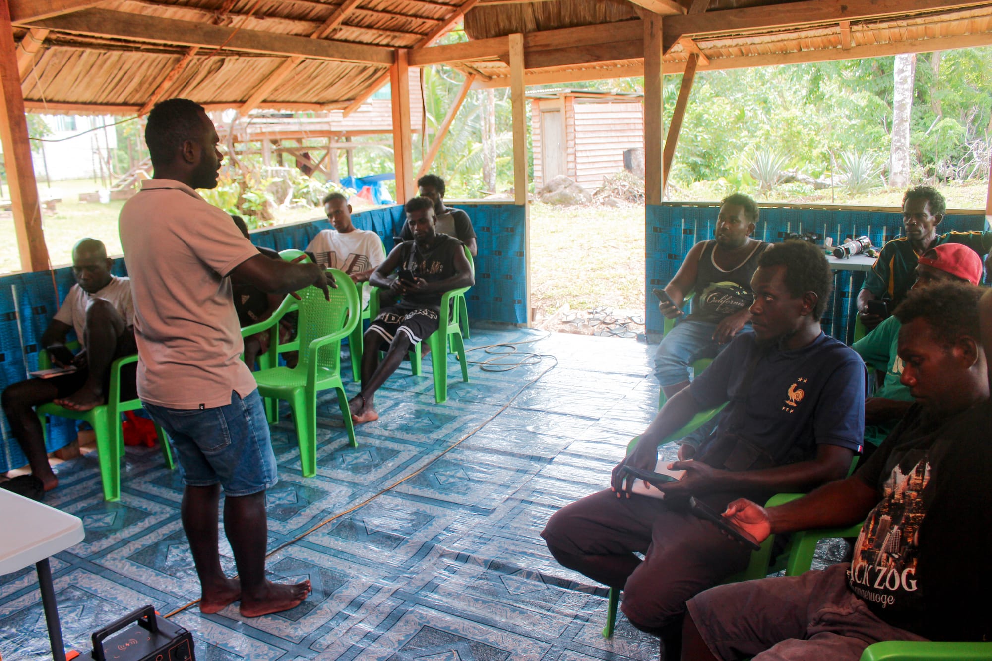
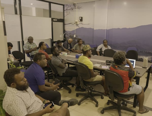
CoMaPeo TOT training session presentation with participating rangers. IKI/Danzo Kakadi
The training introduced the rangers to CoMapeo, a digital mapping application that enables users to collect and manage information using mobile phones, making it suitable for fieldwork in remote areas.
During the training, participants learned how to collect GPS locations, take photographs, record audio stories, add descriptions and share information between devices. They also learned how to use GPS tracking to record patrol routes, areas of interest and protected-area boundaries.
The rangers took part in practical field exercises where they mapped different natural and cultural features, including plants, trees, rivers, mangroves, land etc.. and other important locations.
Gumese Puisasa of IKI said that the training is aimed at building local capacity so rangers can use digital tools to support conservation and community resource management.
The skills could be used in a range of activities, including protected-area patrols, boundary mapping, environmental monitoring, monitoring of logging activities, community monitoring and environmental assessments.
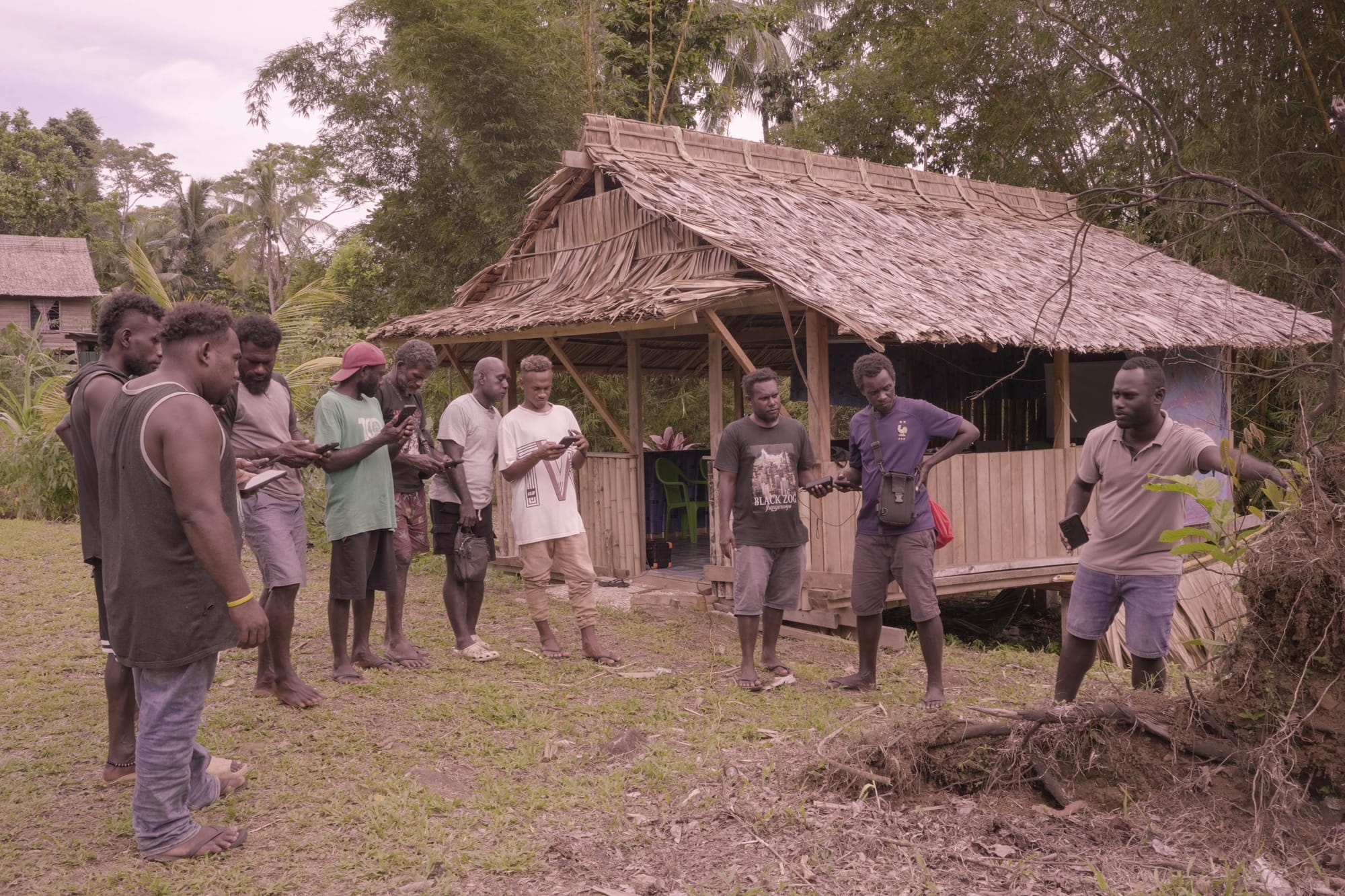
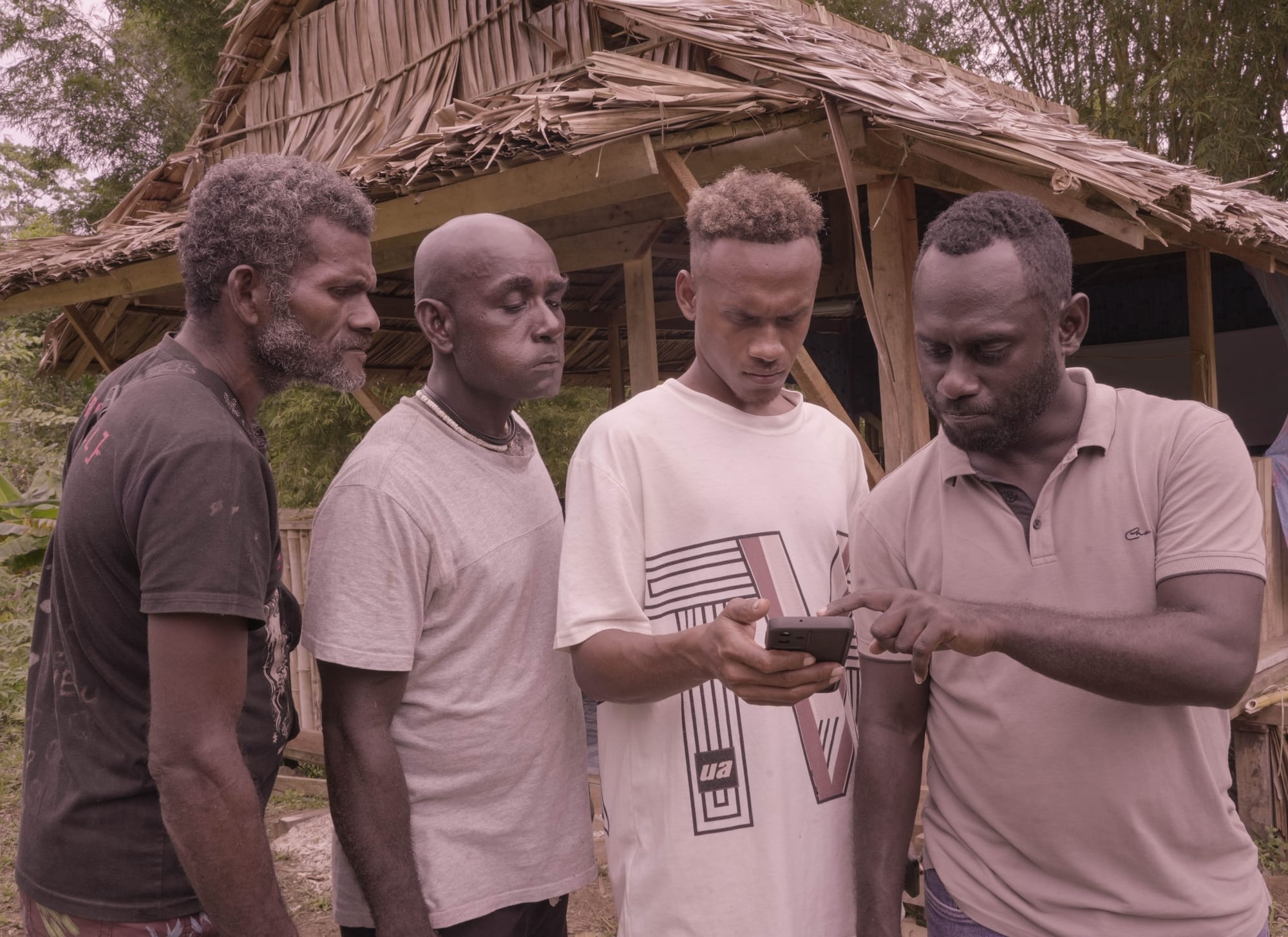
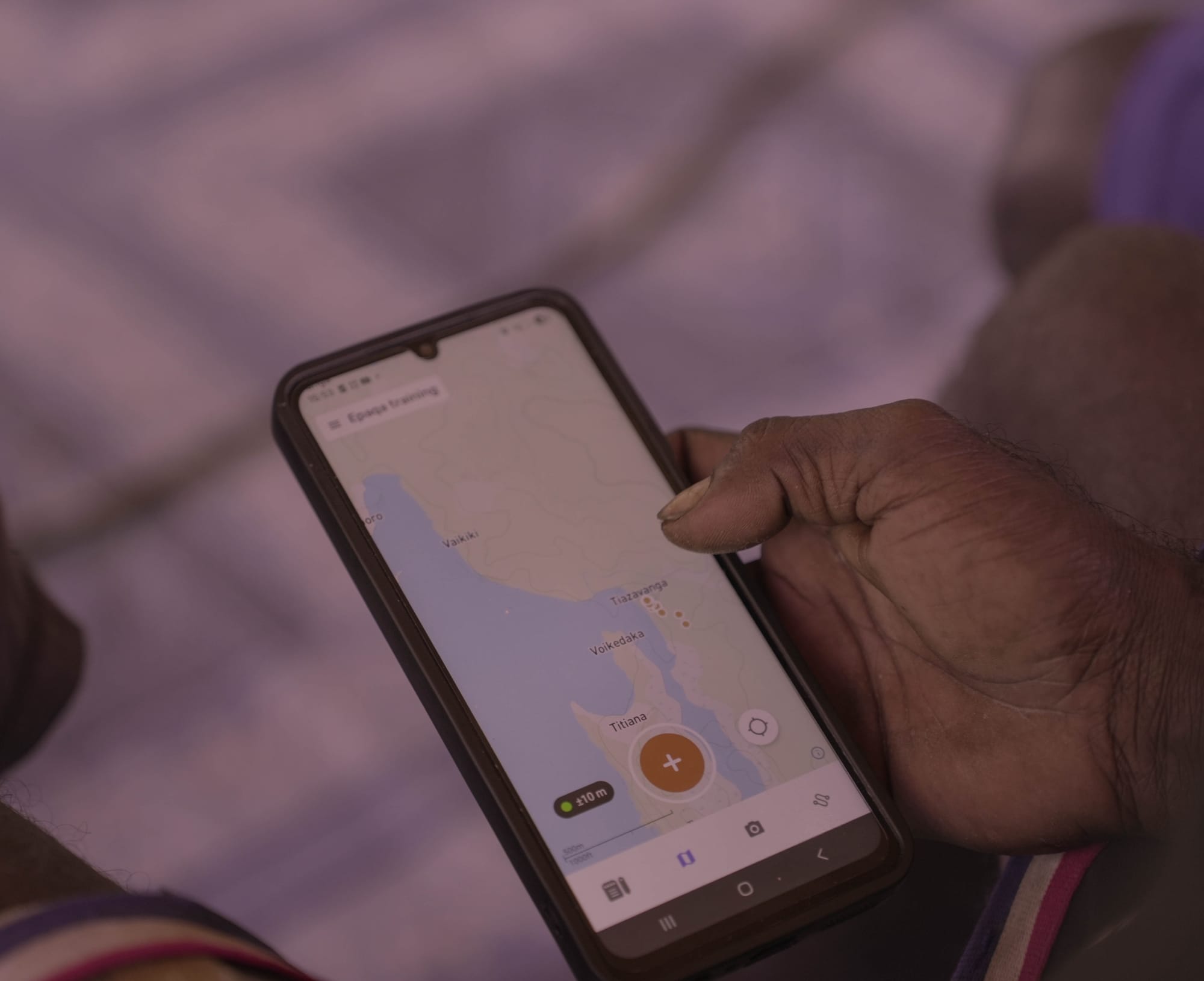
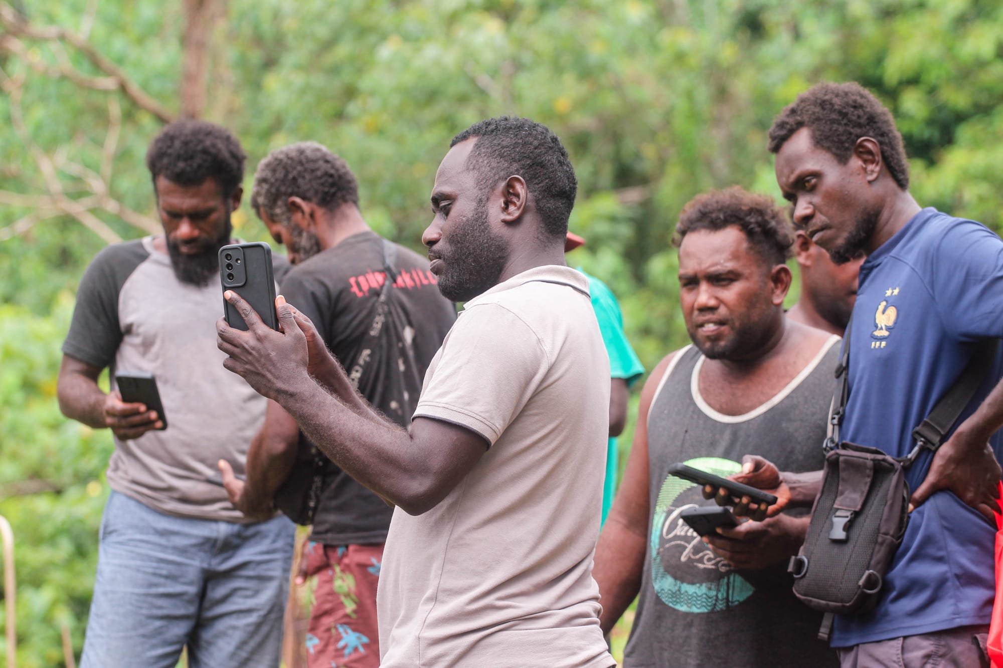
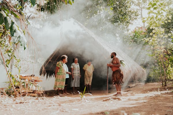
Rangers taking part in the CoMapeo practical session. IKI/Danzo Kakadi
The training also explored the potential for digital mapping and remote technologies to support future activities such as carbon monitoring and other environmental monitoring initiatives.
An important part of the training focused on the responsible collection and management of information.
Rangers were reminded that some cultural information may be sensitive and should not automatically be shared publicly. Participants were encouraged to work with communities to determine what information can be made public and what information should remain within the community.
It is important for our people and communities to have a clear understanding of what is happening within our land and communities. This knowledge is essential for strengthening our efforts to protect our protected areas and sustainably manage our natural resources,” said one of the participants.
The Training of Trainers approach is intended to allow the participating rangers to continue developing their skills and share their knowledge with other rangers and community members.
The initiative highlights the growing role of digital technology in supporting community-based conservation while recognizing the importance of local knowledge and community ownership of information.
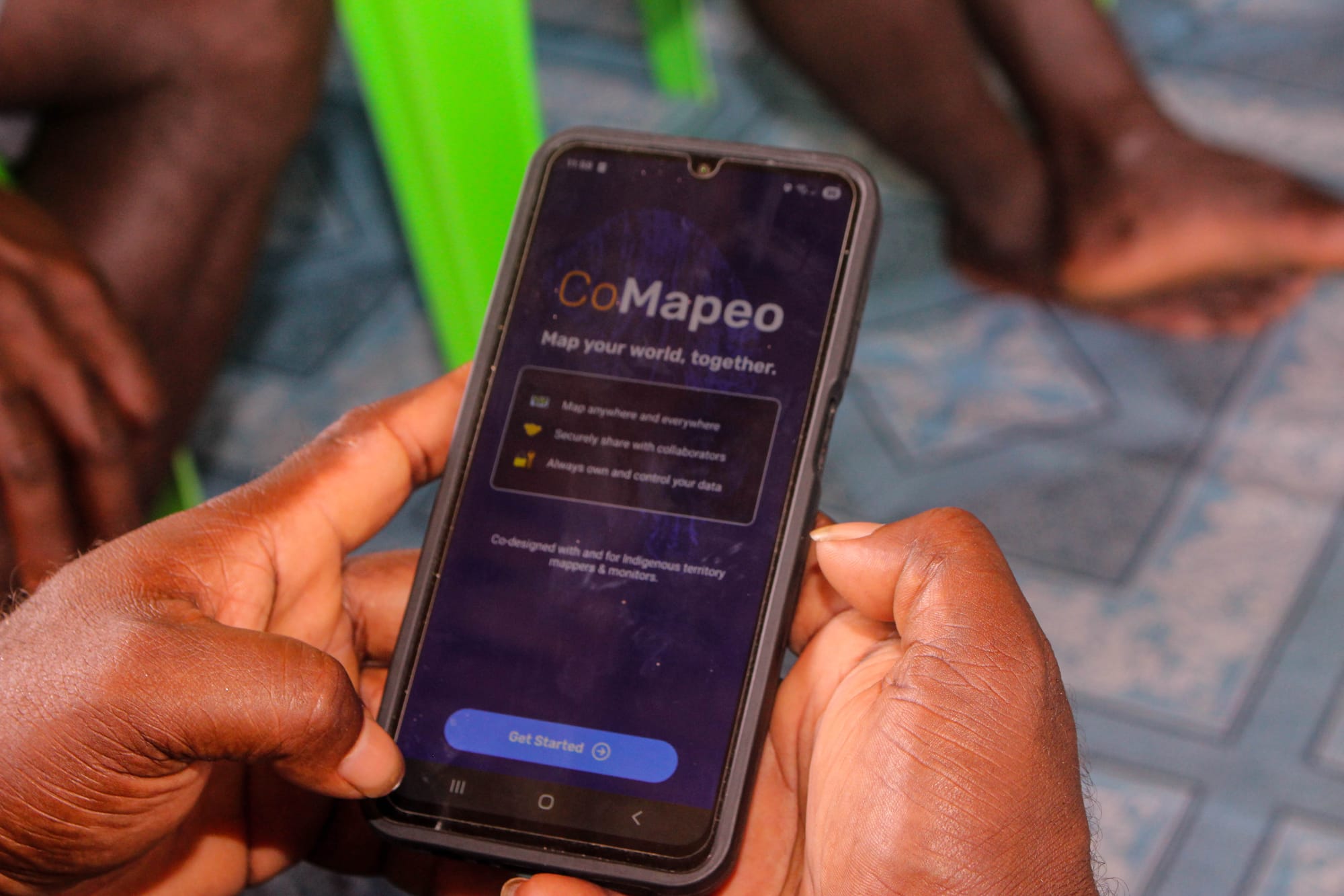
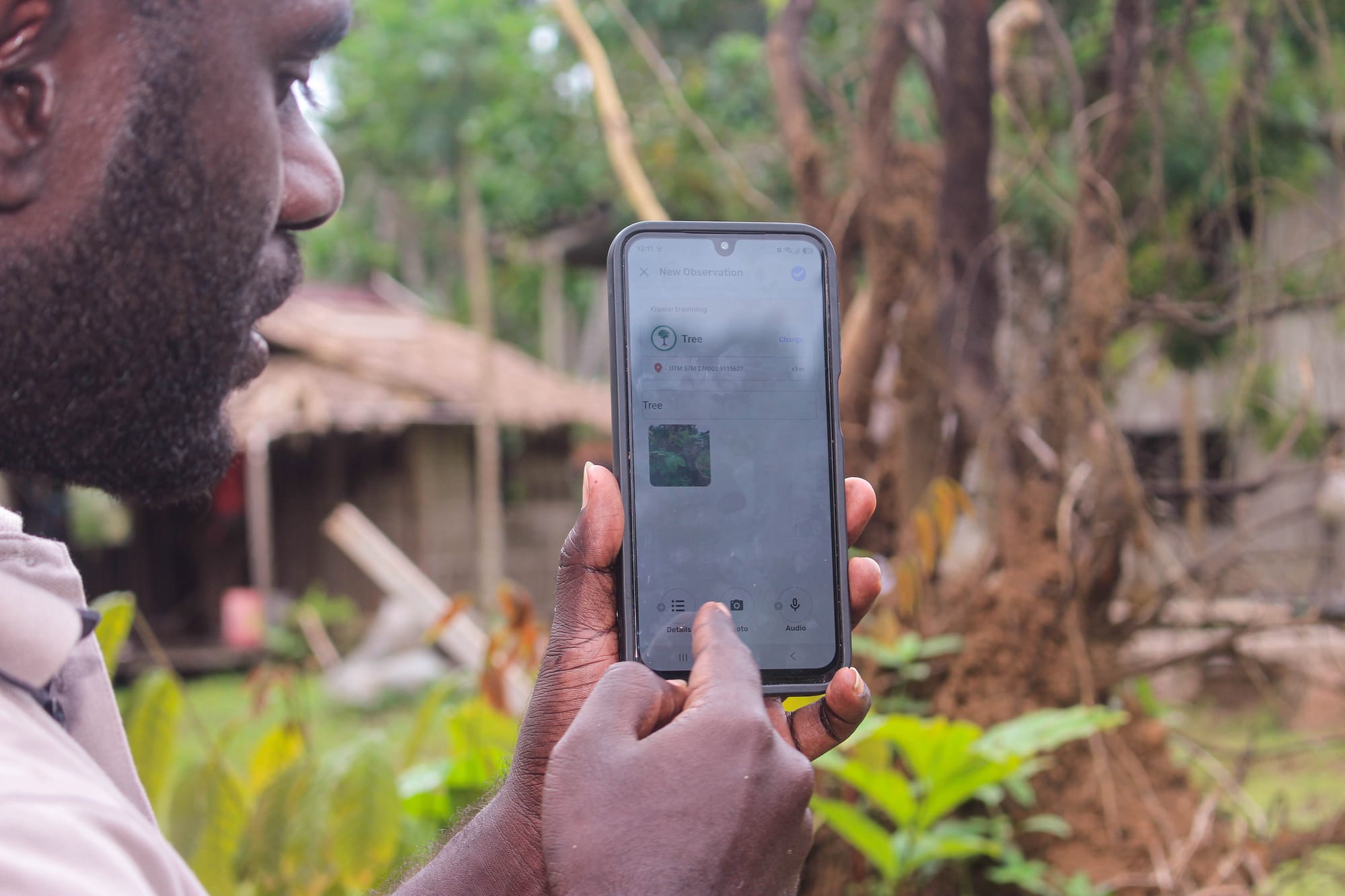
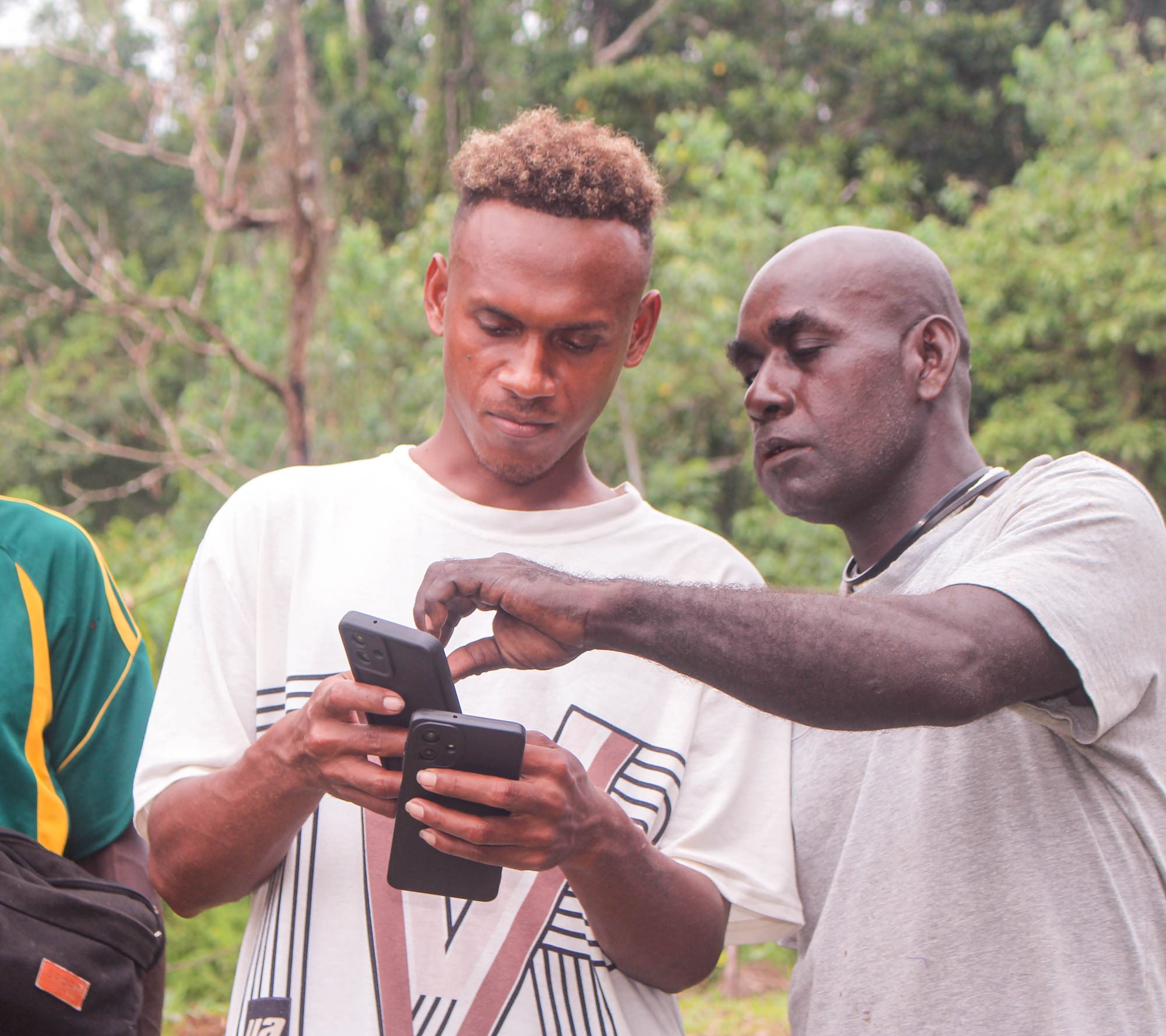
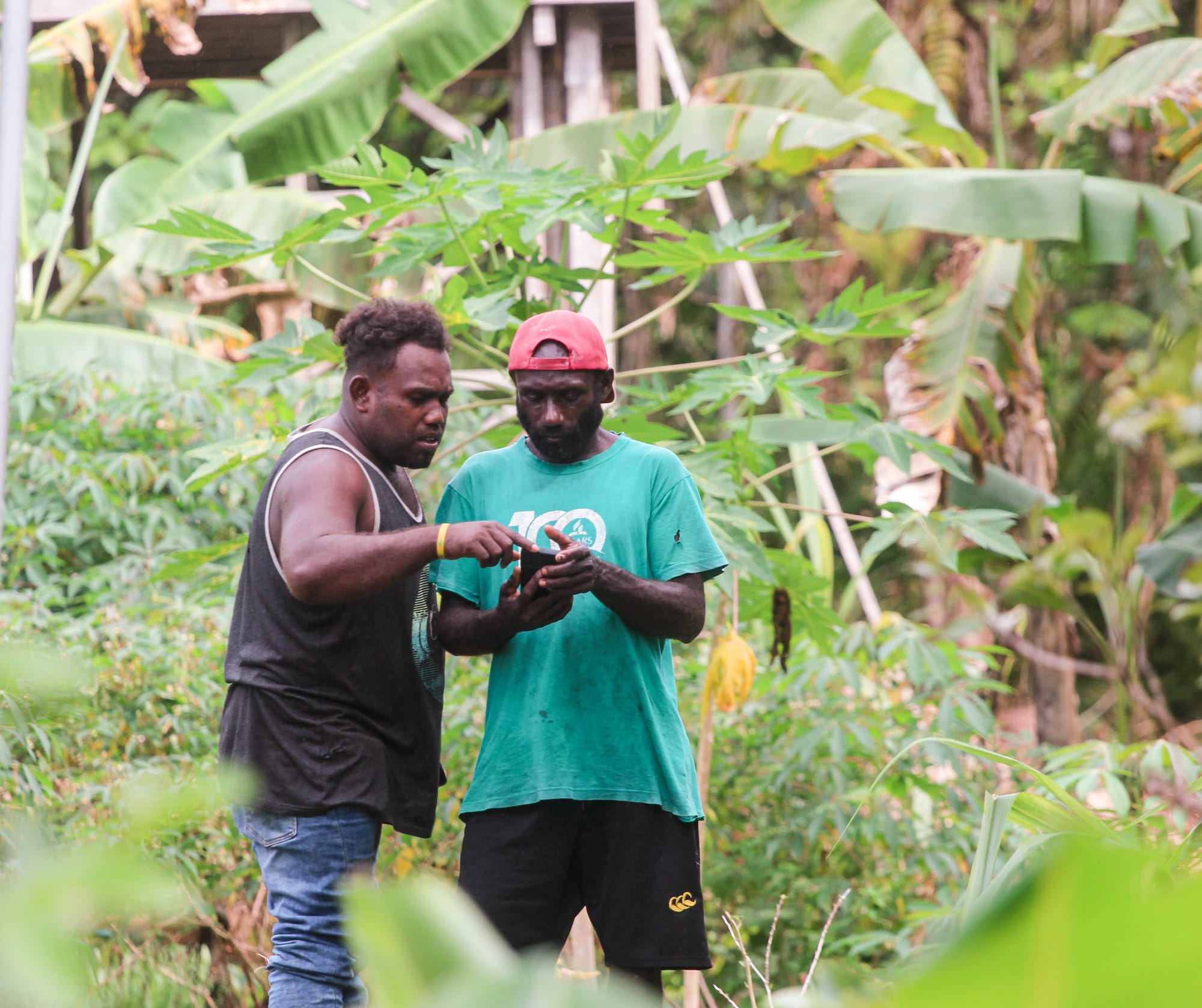
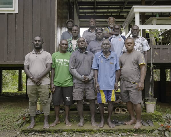
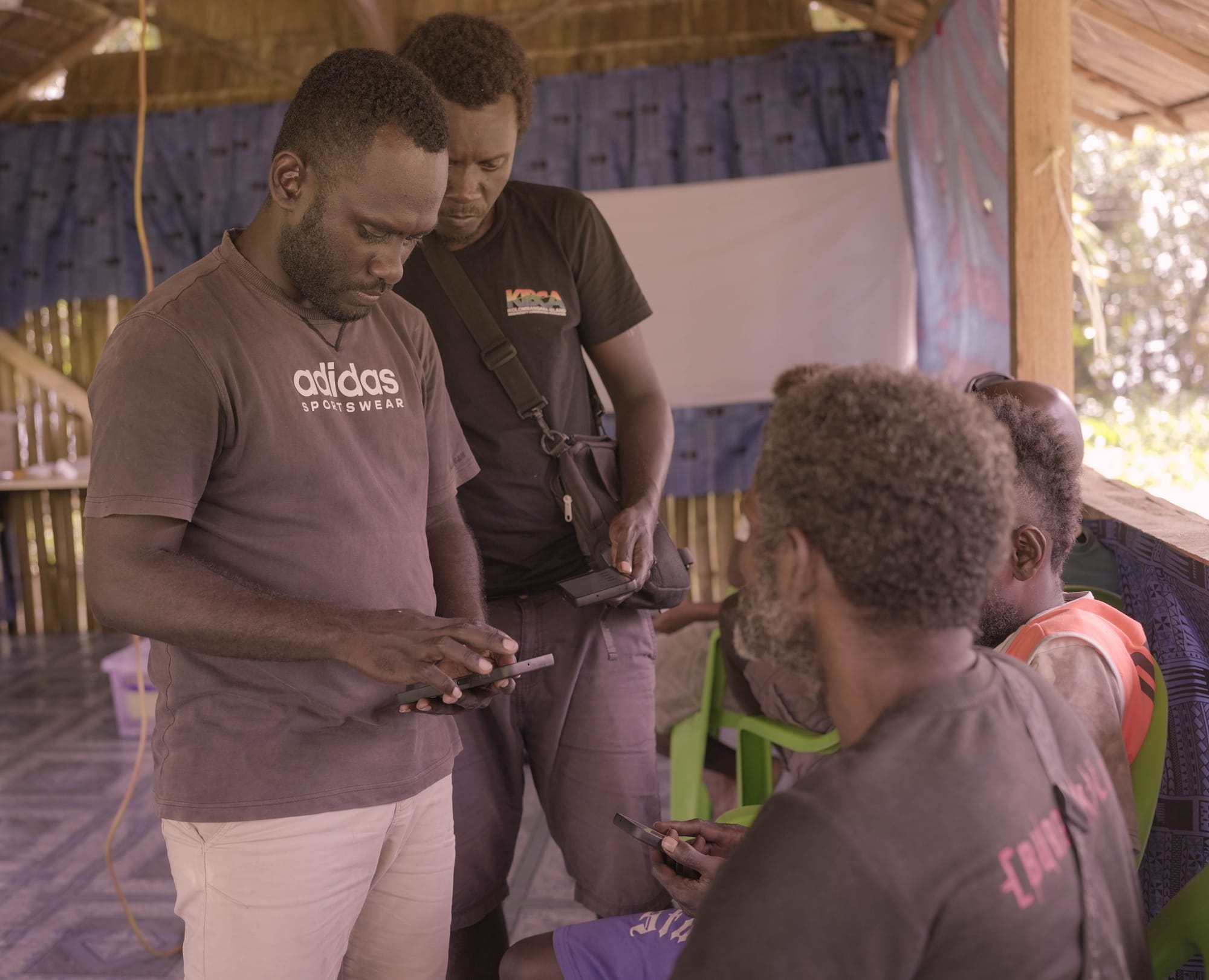
Hands-on practical on using mobile devices with CoMapeo app. IKI/Danzo Kakadi
For the participating rangers, the training provides practical skills that can help them better document and monitor their land, forests, biodiversity and culturally important places.
One of the participants stated “ I’ve learned a lot of new things about using the CoMapeo app. This approach makes it easier for us rangers to keep track and monitor our protected areas, especially on collecting and storing data that matters to our communities and our people.
The Islands Knowledge Institute and KIBCA said strengthening local skills is an important step toward enabling communities and rangers to play a stronger role in protecting and managing their natural and cultural resources.
ENDS
Islands Knowledge Institute (IKI) Comms