Mapping the Future: IKI Strengthens Indigenous Rangers Through CoMapeo Trainings Across Solomon Islands
Indigenous rangers across the Solomon Islands are embracing digital conservation as the Island Knowledge Institute delivers CoMapeo training workshops that integrate traditional knowledge with modern mapping tools to strengthen environmental protection and cultural preservation.
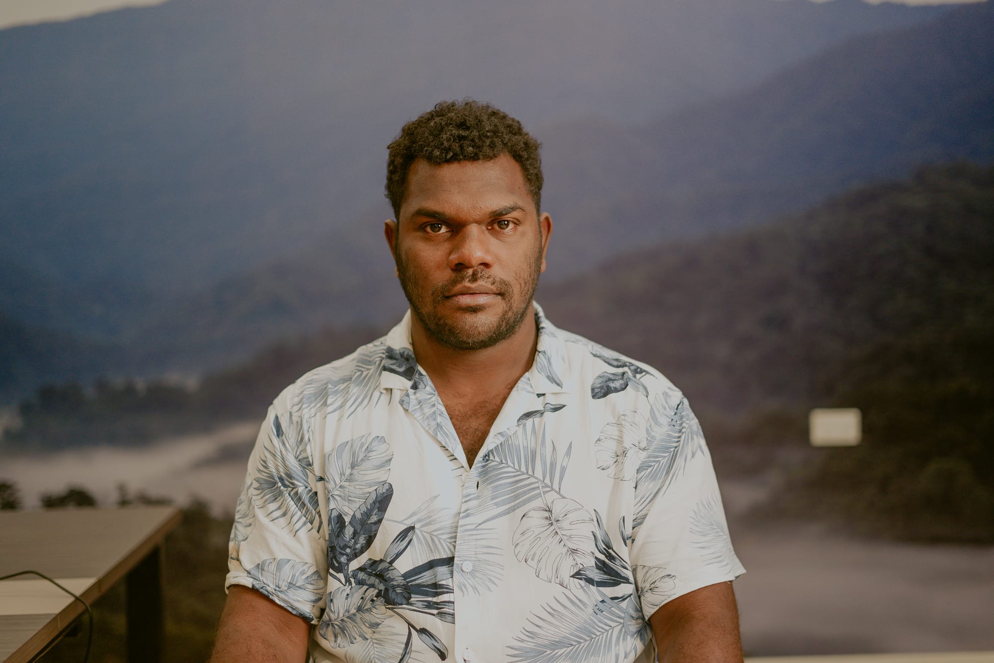
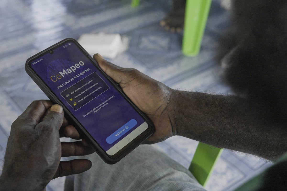
From April to May 2026, the Island Knowledge Institute (IKI), through its Sky Islands Initiative and Remoto team, successfully delivered a series of CoMapeo training workshops across Guadalcanal, Malaita, and Western Province, strengthening indigenous ranger capacity in digital mapping, conservation monitoring, and cultural knowledge preservation.
The trainings were facilitated in partnership with Awana Digital through facilitator Luandro Vieira, bringing together rangers from multiple indigenous-led conservation sites and protected areas throughout the Solomon Islands.
Guadalcanal Training
From 15th to 18th April 2026, IKI conducted a two-and-a-half-day CoMapeo workshop for members of the Soli and Itina Conservation Groups at Parangiju Mountain Lodge. Eight rangers participated, with four representatives from each conservation group.
The training focused on practical digital mapping skills using the CoMapeo mobile application, including GPS tracking, point-coordinate collection, and multimedia documentation via photo and audio recordings linked directly to mapped locations.
According to Mr. Gumese Puisasa, the training represents an important step in strengthening indigenous guardianship systems.
“After this training, our rangers are now equipped with essential mapping skills, from tracking and recording coordinates to capturing multimedia data in the field. CoMapeo is a powerful tool that strengthens how we manage and protect our environments.”
An Itina ranger representative also highlighted the significance of the technology in preserving traditional knowledge:
“CoMapeo is a game changer. Our traditional way of mapping and sharing knowledge has always been oral. Now, we can digitize that knowledge by capturing stories, places, and experiences and preserving them for future generations.”
Participants described the training as highly practical and empowering, helping them gain confidence in applying digital conservation tools within their protected areas.
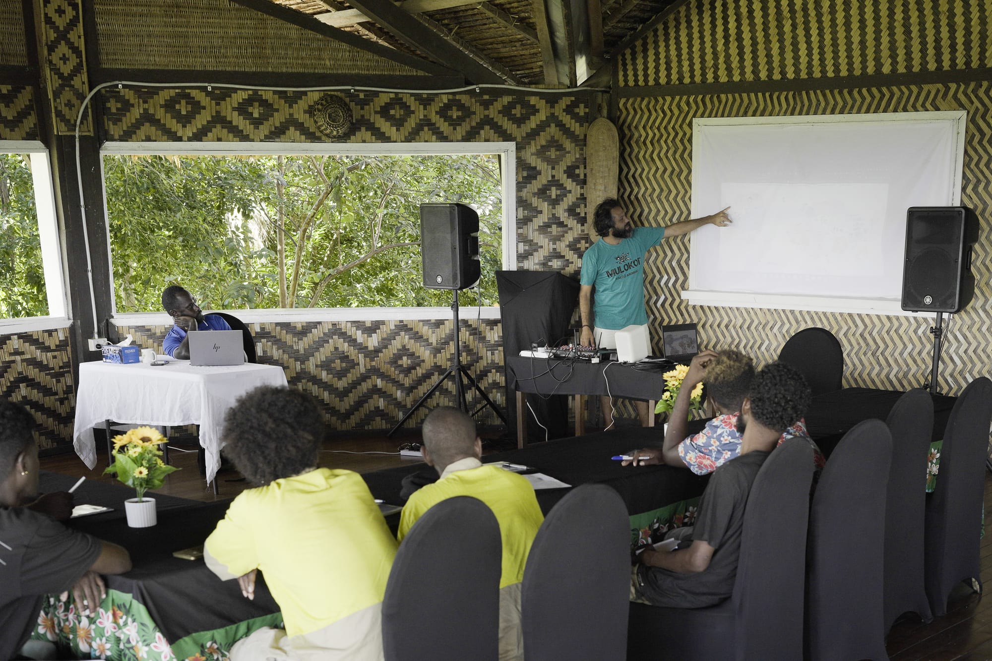
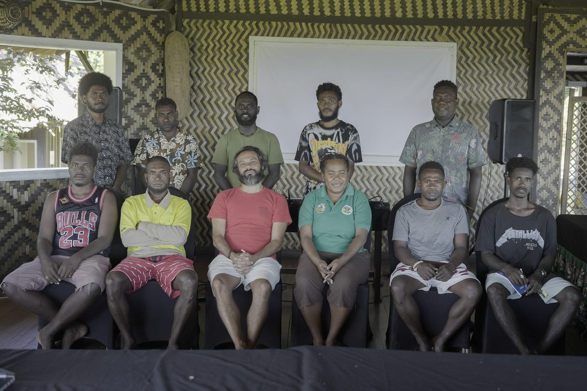
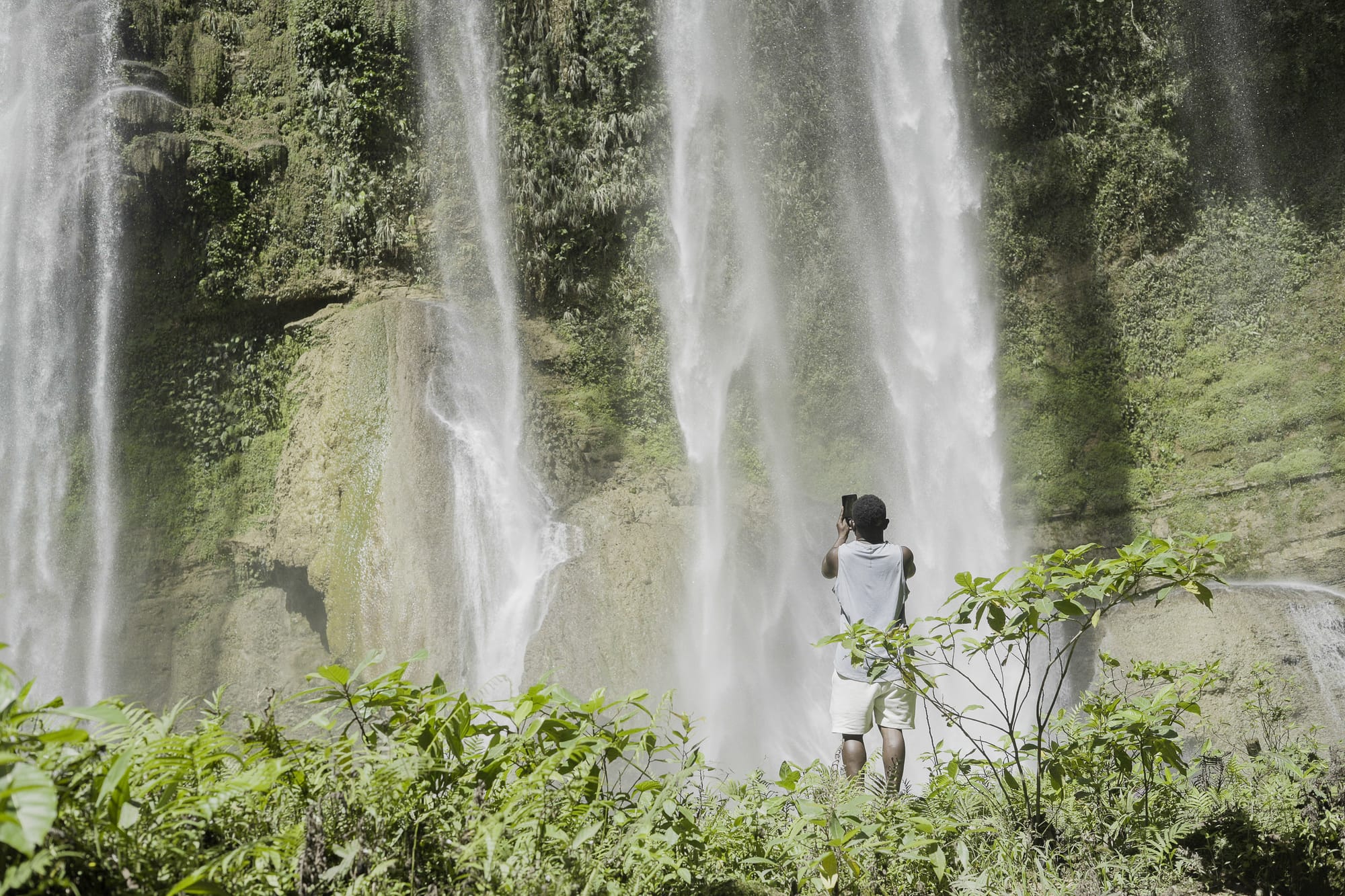
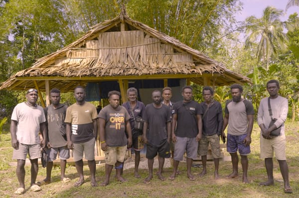
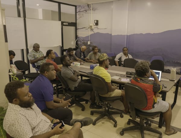
Rangers participate in hands-on training in Guadalcanal Province, Parangiju Mountain Lodge. Photo: IKI / Jovi Totorea
Malaita Training
A second CoMapeo training was held from 21st to 23rd April 2026 at Wai-Hau Conservation Center in partnership with Mai-Maasina Green Belt.
Twelve rangers from six conservation sites attended the workshop, including representatives from Pootori Conservation, Arahau Conservation, Anonikoa Conservation, Nasi Conservation, and Aru’aru Conservation.
The training strengthened rangers' understanding of mobile mapping technology and demonstrated how CoMapeo can support conservation work, cultural archiving, and intergenerational knowledge transfer. Rangers learned to document local stories, environmental knowledge, plant and animal species, and threatened sites using GPS-linked images and audio recordings.
Chief Michael emphasized the importance of preserving knowledge digitally:
“Some of the written books have been destroyed by bad weather, but this technology will change a lot of work in Are’are. Even changing the categories and features into the Are’are language makes it easier for village people to relate to and use.”
One ranger from the Mai-Maasina Green Belt noted that many traditional plant and animal names are gradually being forgotten. Still, digitizing and naming them through CoMapeo will help younger generations reconnect with indigenous knowledge systems.
During the workshop, rangers also identified current and future threats facing their conservation areas and contributed local knowledge to the application for long-term monitoring and planning.
Reflecting on his experience in Malaita, Luandro Vieira shared:
“I got to know part of Malaita, and the Are’are people are extremely interesting, definitely an example for the whole world. They are thinking 50 years ahead. Their resilience as indigenous people has kept them strong even with ongoing logging pressures.”
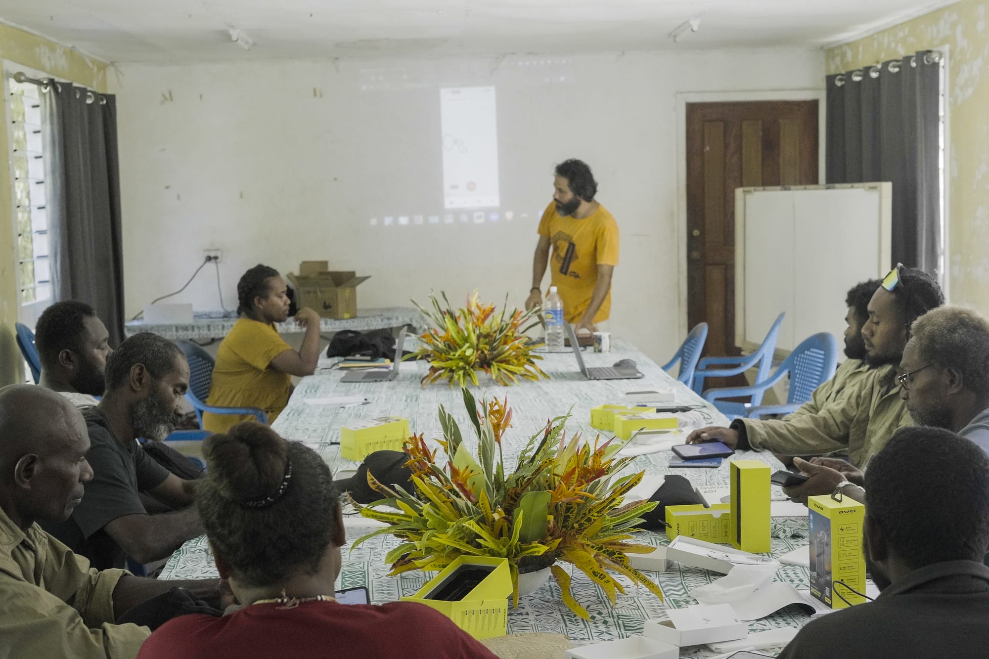
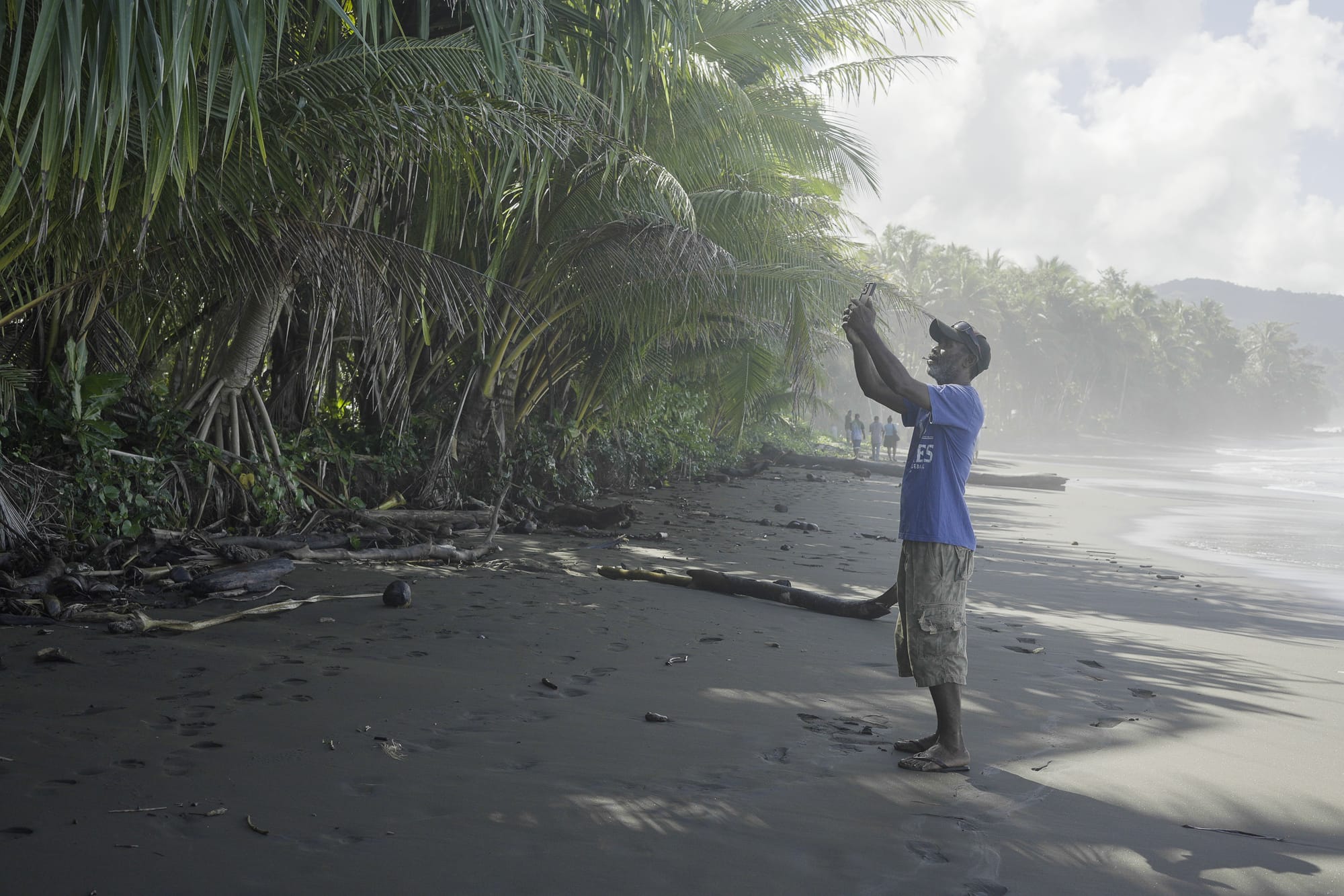
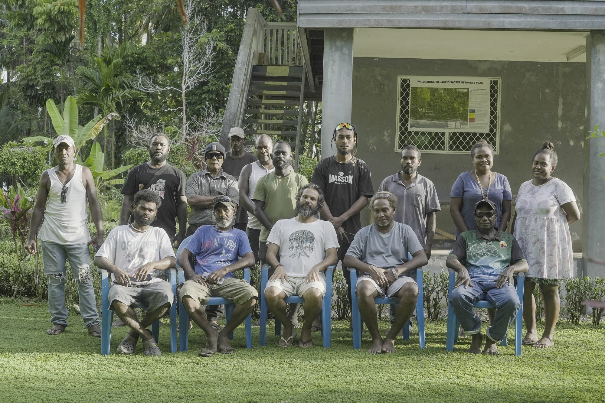
Rangers participate in hands-on training in Malaita Province, Wai-Hau Conservation. Photo: IKI / Jovi Totorea
Western Province Training
The third training was held from 5th to 7th May 2026 at New Afio with rangers from KIBCA and participating conservation groups, including Epaqa Conservation, Kiuwai Conservation, and Iqoana Conservation.
The workshop focused on preparing indigenous conservation groups to strengthen mapping and monitoring systems as they work towards receiving Protected Area recognition under the Ministry.
KIBCA rangers highlighted the importance of indigenous data sovereignty and ownership.
“CoMapeo empowers indigenous ownership of data. Indigenous people have rights to the data collected within their lands. From past experiences, information collected often never returns to the community. With CoMapeo, no matter where the data ends up, it still belongs to indigenous people.”
Another ranger emphasized that the application has broader community value beyond conservation, including use in farming, resource management, and other local development initiatives.
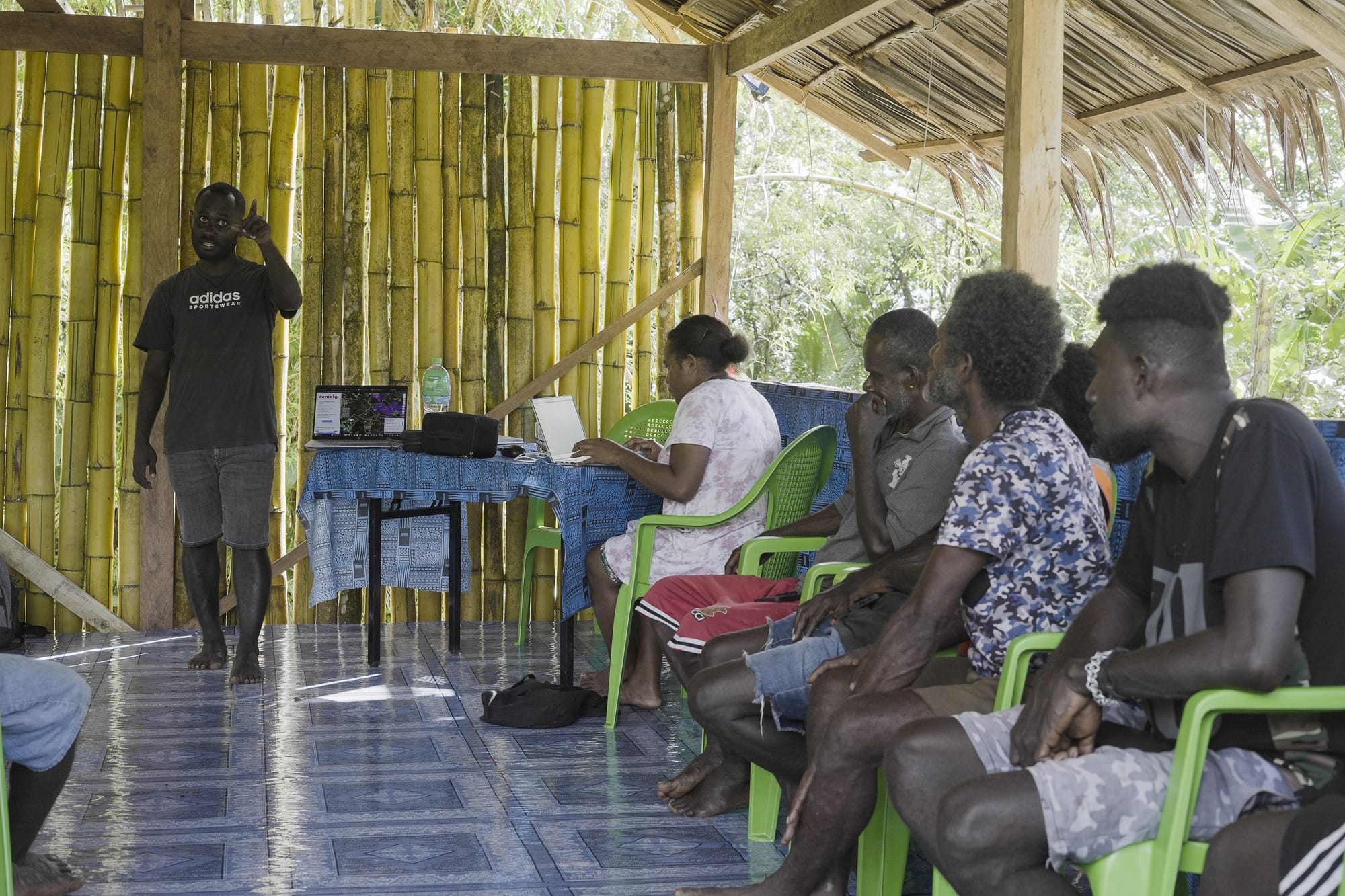
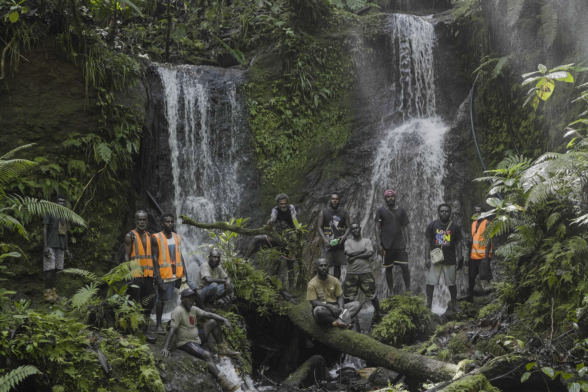
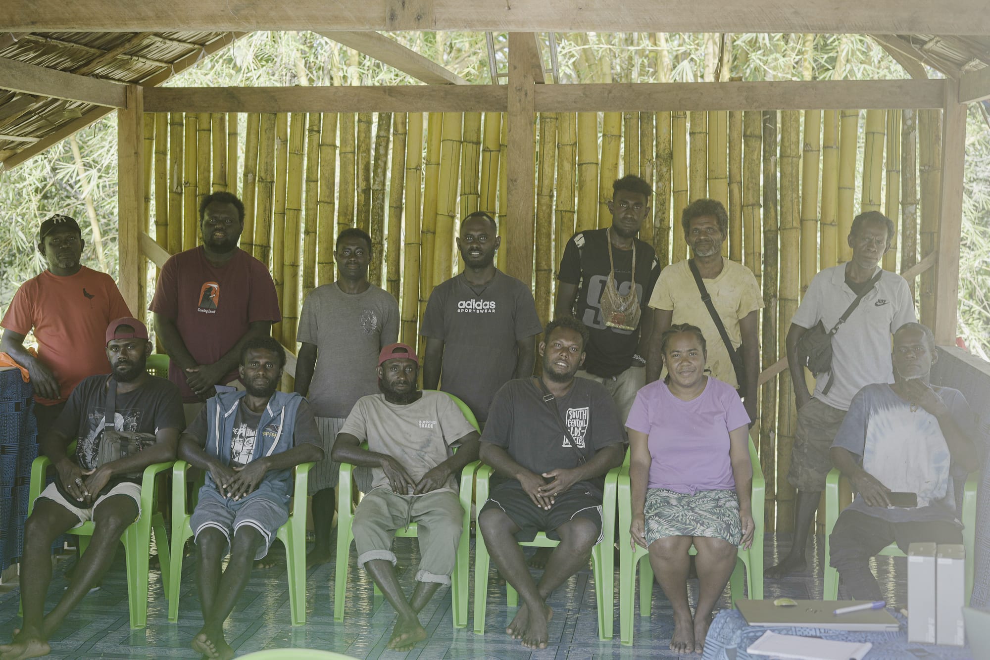
Rangers participate in hands-on training in Western Province, New Atoifi. Photo: IKI / Jovi Totorea
Supporting Rangers on the Ground
As part of the initiative, IKI also provided practical field equipment to participating ranger groups, including smartphones, GPS devices, and power banks to support field data collection and conservation monitoring activities in remote areas.
The support ensures that rangers are better equipped to carry out mapping, monitoring, and documentation work on the ground, even in areas with limited access to electricity and communication infrastructure.
By combining digital tools with practical field equipment, IKI aims to strengthen long-term indigenous-led conservation efforts while improving the ability of local communities to manage and protect their own environments and knowledge systems.
Strengthening Indigenous Conservation Leadership
These trainings reflect the Island Knowledge Institute’s continued commitment to indigenous empowerment, community-led conservation, and cultural knowledge preservation across the Solomon Islands.
By combining traditional knowledge systems with digital tools like CoMapeo, local rangers are not only strengthening conservation efforts but also ensuring that stories, language, environmental knowledge, and cultural heritage are preserved for future generations.
Through the Sky Islands Initiative under the Remoto program, IKI continues to support indigenous communities in building locally driven solutions that protect biodiversity, strengthen cultural identity, and uphold indigenous ownership of knowledge and data.