Remoto
Protecting the Sky Aelans. Empowering Indigenous Guardians. The Sky Aelans are sacred, biodiverse mountaintops. REMOTO is a community-led digital platform empowering Indigenous stewards to monitor and defend these lands in real time.
About REMOTO
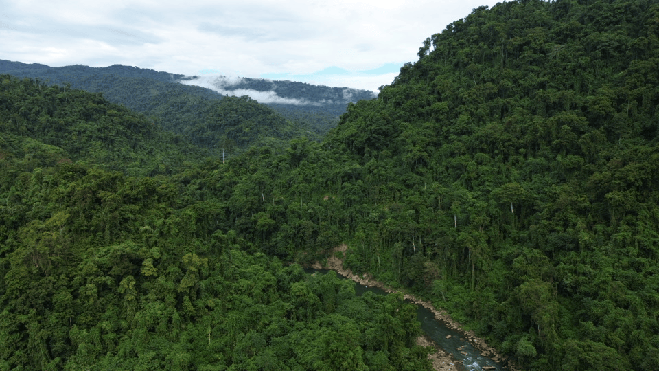
The Solomon Islands' Sky Aelans face severe threats from illegal logging and mining. REMOTO (REmote MOnitoring of the TOlo) is a secure, open-source platform combining remote sensing and mapping. Key features include community-owned data, offline access, local language support, and real-time environmental alerts.
Vision and Mission
How It Works
Community Mapping
Rangers map boundaries and sacred sites using CoMapeo.
Data Collection
Surveys and satellites capture changes on the ground.
Remoto Platform
Community-owned data is securely stored and analyzed for threats.
Real-Time Alerts
Communities receive immediate warnings about illegal activities.
Community Impact
REMOTO is successfully uncovering hidden illegal logging and enabling faster ranger responses. It helps preserve cultural knowledge while uniting elders and youth through modern technology.
"REMOTO gives us the eyes to see what is happening to our land — and the strength to protect it." — Kira Ranger.
Future Aspirations
REMOTO is evolving to include nationwide scaling and a public dashboard. System upgrades will feature enhanced alerts for timber ships and mining, biodiversity and carbon tracking, custom cultural dashboards, and legal reporting templates for court cases.
Join Us
Support Indigenous guardians in protecting the Solomon Islands' last untouched highlands.
Partners
Islands Knowledge Institute (IKI), Mai-Maasina Green Belt (MMGB), Nia Tero, and Indigenous communities of Malaita & Guadalcanal.